
Brownwood topographic map
Interactive map
Click on the map to display elevation.
About this map
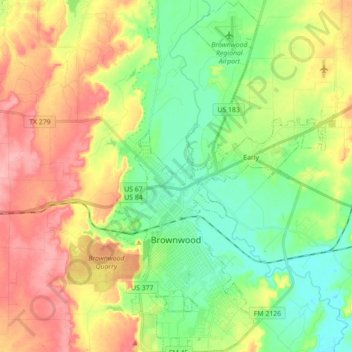
Name: Brownwood topographic map, elevation, terrain.
Location: Brownwood, Brown County, Texas, 76801, USA (31.65910 -99.01309 31.80845 -98.94199)
Average elevation: 439 m
Minimum elevation: 395 m
Maximum elevation: 499 m