
Pategi topographic map
Interactive map
Click on the map to display elevation.
About this map
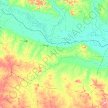
Name: Pategi topographic map, elevation, terrain.
Location: Pategi, Kwara, Nigéria (8.39298 5.44741 8.94010 6.20854)
Average elevation: 149 m
Minimum elevation: 44 m
Maximum elevation: 448 m
Other topographic maps
Click on a map to view its topography, its elevation and its terrain.