
Douglas topographic map
Interactive map
Click on the map to display elevation.
About this map
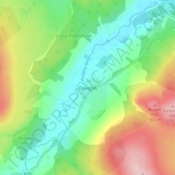
Name: Douglas topographic map, elevation, terrain.
Location: Douglas, South Lanarkshire, Scotland, ML11 0QW, United Kingdom (55.53682 -3.86800 55.57682 -3.82800)
Average elevation: 256 m
Minimum elevation: 181 m
Maximum elevation: 383 m