
Kolky topographic map
Interactive map
Click on the map to display elevation.
About this map
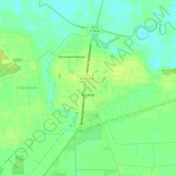
Name: Kolky topographic map, elevation, terrain.
Location: Kolky, Manevychi Raion, Volyn Oblast, Ukraine (51.08543 25.65553 51.10957 25.70652)
Average elevation: 173 m
Minimum elevation: 164 m
Maximum elevation: 181 m