
Atra küla topographic map
Interactive map
Click on the map to display elevation.
About this map
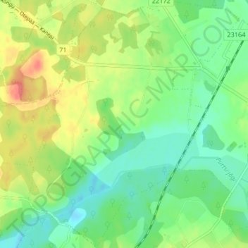
Name: Atra küla topographic map, elevation, terrain.
Location: Atra küla, Elva vald, Tartu County, 67508, Estonia (58.10147 26.27198 58.13630 26.32825)
Average elevation: 98 m
Minimum elevation: 76 m
Maximum elevation: 132 m