
La Cuesta topographic map
Interactive map
Click on the map to display elevation.
About this map
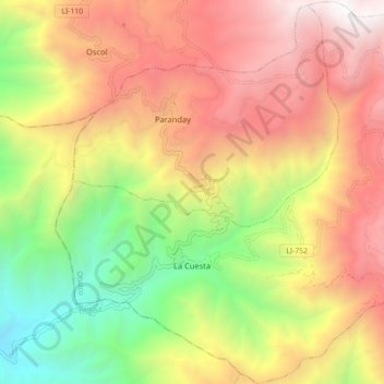
Name: La Cuesta topographic map, elevation, terrain.
Location: La Cuesta, Otuzco, La Libertad, Peru (-7.94610 -78.73680 -7.85783 -78.64747)
Average elevation: 2,746 m
Minimum elevation: 1,263 m
Maximum elevation: 4,176 m