
Rayen topographic map
Interactive map
Click on the map to display elevation.
About this map
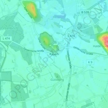
Name: Rayen topographic map, elevation, terrain.
Average elevation: 29 m
Minimum elevation: 18 m
Maximum elevation: 99 m
Other topographic maps
Click on a map to view its topography, its elevation and its terrain.
Luit
Deutschland > Nordrhein-Westfalen > Kreis Wesel > Neukirchen-Vluyn > Niep
Luit, Niep, Neukirchen-Vluyn, Kreis Wesel, Nordrhein-Westfalen, 47506, Deutschland
Average elevation: 33 m
Halde Norddeutschland
Deutschland > Nordrhein-Westfalen > Kreis Wesel > Neukirchen-Vluyn
Halde Norddeutschland, Neukirchen-Vluyn, Kreis Wesel, Nordrhein-Westfalen, 47506, Deutschland
Average elevation: 30 m