
Khomeyni Shahr County topographic map
Interactive map
Click on the map to display elevation.
About this map
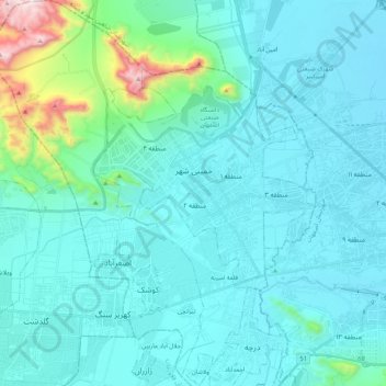
Name: Khomeyni Shahr County topographic map, elevation, terrain.
Location: Khomeyni Shahr County, Iran (32.59463 51.41405 32.77213 51.60895)
Average elevation: 1,685 m
Minimum elevation: 1,570 m
Maximum elevation: 2,533 m