
El Cayuco topographic map
Interactive map
Click on the map to display elevation.
About this map
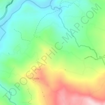
Name: El Cayuco topographic map, elevation, terrain.
Location: El Cayuco, Puente Nacional, Santander, Colombia (5.86196 -73.66309 5.88196 -73.64309)
Average elevation: 1,691 m
Minimum elevation: 1,566 m
Maximum elevation: 1,880 m