
Bejes topographic map
Interactive map
Click on the map to display elevation.
About this map
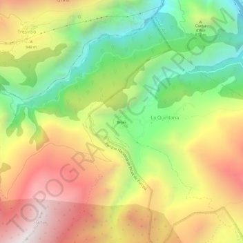
Name: Bejes topographic map, elevation, terrain.
Location: Bejes, Liébana, Cantabria, 39580, España (43.22230 -4.66668 43.26230 -4.62668)
Average elevation: 806 m
Minimum elevation: 88 m
Maximum elevation: 1,587 m