
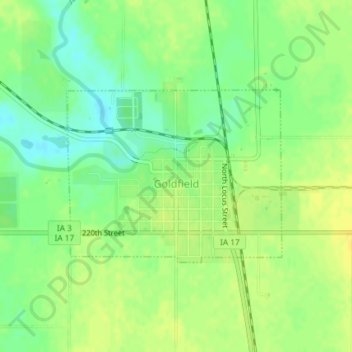
Goldfield topographic map
Interactive map
Click on the map to display elevation.
About this map
Name: Goldfield topographic map, elevation, terrain.
Location: Goldfield, Wright County, Iowa, United States (42.72929 -93.93187 42.74253 -93.90944)
Average elevation: 343 m
Minimum elevation: 331 m
Maximum elevation: 352 m