Geolocate

Sand Cay topographic map

Click on the map to display elevation.

About this map

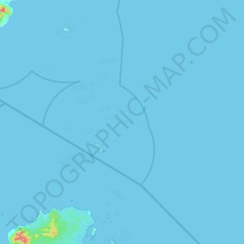
Name: Sand Cay topographic map, elevation, terrain.

Location: Sand Cay, Balabac, Palawan, Mimaropa, Philippines (7.26333 117.04667 7.90333 117.68667)

Average elevation: 3 m

Minimum elevation: 0 m

Maximum elevation: 487 m

Other topographic maps

Click on a map to view its topography, its elevation and its terrain.

Melville

Philippines > Palawan > Balabac

Average elevation: 23 m

Bugsuk

Philippines > Palawan > Balabac

Average elevation: 3 m

Bugsuk River

Philippines > Palawan > Balabac

Average elevation: 12 m

Gear up for your next adventure:

🧺Ultralight Dry Bags - Organize and waterproof your gear inside your rucksack
📷Outdoor Action Cameras - Cameras designed for hiking and adventure
🔭Compact Hiking Binoculars - Lightweight optics for scouting terrain and spotting wildlife
🧦Hiking Socks - Breathable socks designed to prevent blisters on long walks
🎒Hiking Daypacks (20L) - Compact backpacks for day trips and technical mountain ascents

As an Amazon Associate, this site earns from qualifying purchases at no extra cost to you.