Geolocate

Lachute topographic map

Click on the map to display elevation.

About this map

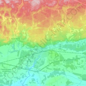
Name: Lachute topographic map, elevation, terrain.

Location: Lachute, Argenteuil, Laurentides, Quebec, Canada (45.59900 -74.37927 45.73962 -74.20395)

Average elevation: 127 m

Minimum elevation: 32 m

Maximum elevation: 298 m

Gear up for your next adventure:

💧Hydration Reservoirs - Convenient water bladders for hands-free drinking on the move
🪢Paracord - Multi-purpose cord for camping and survival
🧺Microfibre Travel Towels - Fast-drying and compact towels for wild swimming and camping
📕Outdoor Navigation Books - Learn traditional and modern navigation techniques
🦟Anti-Midge & Tick Repellent - Vital for hiking in the Scottish Highlands during summer

As an Amazon Associate, this site earns from qualifying purchases at no extra cost to you.