Geolocate

Amagon topographic map

Click on the map to display elevation.

About this map

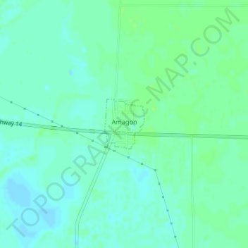
Name: Amagon topographic map, elevation, terrain.

Location: Amagon, Jackson County, Arkansas, 72005, United States (35.56014 -91.11248 35.56555 -91.10713)

Average elevation: 69 m

Minimum elevation: 64 m

Maximum elevation: 73 m

Other topographic maps

Click on a map to view its topography, its elevation and its terrain.

Denmark

United States > Arkansas > Jackson County

Average elevation: 173 m

Gear up for your next adventure:

🧊Insulated Flasks - Keeps drinks hot or cold during hikes
👟Heavy Duty Boot Laces - Always carry a spare for your hiking footwear
🧣Neck Gaiters - Protects against wind and sun on exposed ridges and peaks
🧰First Aid Kits - Essential safety kits for outdoor activities
🌄Compact Monoculars - Lightweight optics for hiking

As an Amazon Associate, this site earns from qualifying purchases at no extra cost to you.