
Mosnang topographic map
Interactive map
Click on the map to display elevation.
About this map
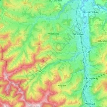
Name: Mosnang topographic map, elevation, terrain.
Location: Mosnang, Wahlkreis Toggenburg, Sankt Gallen, Schweiz (47.29800 8.94352 47.39157 9.06565)
Average elevation: 816 m
Minimum elevation: 553 m
Maximum elevation: 1,304 m
Durch Mühlrüti verläuft der 87 Kilometer lange Toggenburger Höhenweg. Er führt in fünf Etappen von Wildhaus über Arvenbüel und Chrüzegg (oberhalb Atzmännig) nach Wil.