Geolocate

A Retorta topographic map

Click on the map to display elevation.

About this map

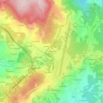
Name: A Retorta topographic map, elevation, terrain.

Location: A Retorta, Cabral, Vigo, Pontevedra, Galicia, 36318, Spain (42.21101 -8.65373 42.25101 -8.61373)

Average elevation: 241 m

Minimum elevation: 77 m

Maximum elevation: 423 m

Gear up for your next adventure:

👟Men's Trail Running Shoes - Lightweight grip for fast movement over topographic contours
👖Packable Overtrousers - Quick-deploy rain protection for legs in sudden storms
🗺️Ordnance Survey Maps - Official UK maps for walking and outdoor activities
🧊Personal Water Filters - Drink safely from mountain streams marked on your map
🛌Sleeping Bags - Warm and packable sleeping bags for outdoor nights

As an Amazon Associate, this site earns from qualifying purchases at no extra cost to you.