
Lavender Hill topographic map
Interactive map
Click on the map to display elevation.
About this map
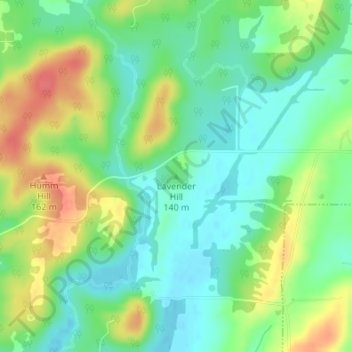
Name: Lavender Hill topographic map, elevation, terrain.
Location: Lavender Hill, Hardin County, Illinois, 62982, United States (37.44222 -88.36898 37.44232 -88.36888)
Average elevation: 125 m
Minimum elevation: 102 m
Maximum elevation: 161 m