
Djaména topographic map
Interactive map
Click on the map to display elevation.
About this map
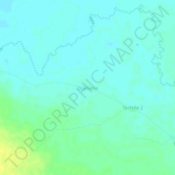
Name: Djaména topographic map, elevation, terrain.
Location: Djaména, Vakaga, Central African Republic (10.17852 22.89785 10.21852 22.93785)
Average elevation: 472 m
Minimum elevation: 467 m
Maximum elevation: 485 m