
الصدير topographic map
Interactive map
Click on the map to display elevation.
About this map
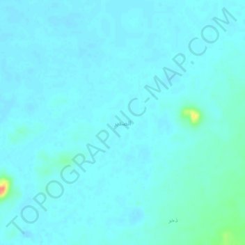
Name: الصدير topographic map, elevation, terrain.
Location: الصدير, Al Mahd, Al Madinah Region, Saudi Arabia (23.08743 40.66080 23.12743 40.70080)
Average elevation: 915 m
Minimum elevation: 910 m
Maximum elevation: 954 m