
Réclère topographic map
Interactive map
Click on the map to display elevation.
About this map
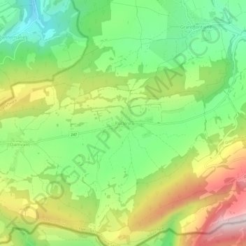
Name: Réclère topographic map, elevation, terrain.
Location: Réclère, Haute-Ajoie, District de Porrentruy, Jura, 2912, Suisse (47.35563 6.90200 47.39563 6.94200)
Average elevation: 622 m
Minimum elevation: 432 m
Maximum elevation: 890 m