Geolocate

Kimende topographic map

Click on the map to display elevation.

About this map

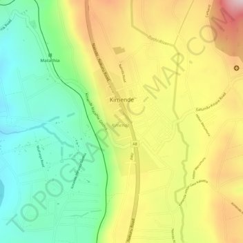
Name: Kimende topographic map, elevation, terrain.

Location: Kimende, Kiambu, Central Kenya, Kenya (-0.99002 36.62571 -0.97789 36.63327)

Average elevation: 2,346 m

Minimum elevation: 2,178 m

Maximum elevation: 2,537 m

Gear up for your next adventure:

Insulated Travel Mugs - Keep drinks hot while surveying the landscape from a summit
🧭Emergency Beacons - Safety beacons for remote outdoor locations
🧢Thermal Beanie Hats - Prevent heat loss from the head in windy summit conditions
🖼️Topographic Map Art - Decorative 3D-effect posters of famous UK peaks and regions
📦Dry Bags - Waterproof bags to protect gear from rain

As an Amazon Associate, this site earns from qualifying purchases at no extra cost to you.