
Thank you for supporting this site ❤️
Make a donation
Make a donation
Gear up for your next adventure:
As an Amazon Associate, this site earns from qualifying purchases at no extra cost to you.
Kabilas topographic map
Click on the map to display elevation.
Thank you for supporting this site ❤️
Make a donation
Make a donation
Gear up for your next adventure:
As an Amazon Associate, this site earns from qualifying purchases at no extra cost to you.
About this map
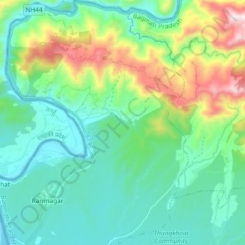
Name: Kabilas topographic map, elevation, terrain.
Location: Kabilas, Bharatpur, Chitwan, Bagmati Pradesh, Nepal (27.71108 84.42997 27.82474 84.52601)
Average elevation: 465 m
Minimum elevation: 175 m
Maximum elevation: 1,388 m
Thank you for supporting this site ❤️
Make a donation
Make a donation
Gear up for your next adventure:
As an Amazon Associate, this site earns from qualifying purchases at no extra cost to you.