Geolocate

Polynesia topographic map

Click on the map to display elevation.

About this map

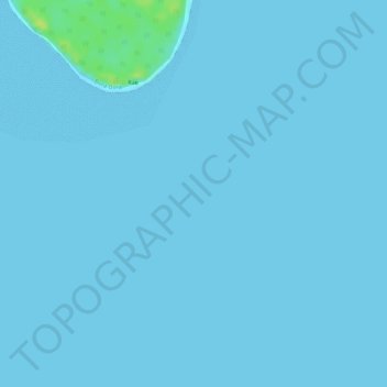
Name: Polynesia topographic map, elevation, terrain.

Location: Polynesia, Leeward Islands, French Polynesia, France (-16.31005 -151.81005 -16.30995 -151.80995)

Average elevation: 1 m

Minimum elevation: 0 m

Maximum elevation: 16 m

Other topographic maps

Click on a map to view its topography, its elevation and its terrain.

Bora-Bora

France > French Polynesia > Leeward Islands

Average elevation: 1 m

Taha’a

France > French Polynesia > Leeward Islands

Average elevation: 36 m

Maupiti

France > French Polynesia > Leeward Islands

Average elevation: 1 m

Manuae

France > French Polynesia > Leeward Islands

Average elevation: 0 m

Bora-Bora

France > French Polynesia > Leeward Islands

Average elevation: 1 m

Gear up for your next adventure:

GPS Outdoor Watches - Watches with GPS tracking for hiking and exploration
🔥Emergency Fire Starters - Reliable ignition tools for survival situations in damp conditions
🥫Expedition Meals - Lightweight, high-calorie nutrition for long-distance hikers
🛌Sleeping Mats - Insulated mats for comfortable outdoor sleeping
🥾Trekking Poles - Poles to improve stability on uneven terrain

As an Amazon Associate, this site earns from qualifying purchases at no extra cost to you.