
Arzew topographic map
Interactive map
Click on the map to display elevation.
About this map
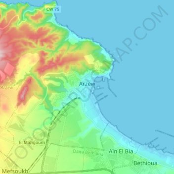
Name: Arzew topographic map, elevation, terrain.
Location: Arzew, Arzew District, Oran, 31200, Algeria (35.79868 -0.41169 35.90937 -0.29067)
Average elevation: 59 m
Minimum elevation: -3 m
Maximum elevation: 273 m