
Puente Negro topographic map
Interactive map
Click on the map to display elevation.
About this map
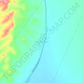
Name: Puente Negro topographic map, elevation, terrain.
Location: Puente Negro, Sabinas, Coahuila de Zaragoza, México (27.94914 -101.03025 27.98914 -100.99025)
Average elevation: 431 m
Minimum elevation: 398 m
Maximum elevation: 550 m