
Reghaia topographic map
Interactive map
Click on the map to display elevation.
About this map
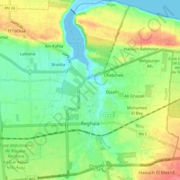
Name: Reghaia topographic map, elevation, terrain.
Location: Reghaia, Rouiba District, Algiers, 16036, Algeria (36.71802 3.31184 36.78394 3.38258)
Average elevation: 25 m
Minimum elevation: -4 m
Maximum elevation: 63 m