
Fåvang topographic map
Interactive map
Click on the map to display elevation.
About this map
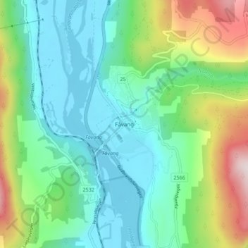
Name: Fåvang topographic map, elevation, terrain.
Location: Fåvang, Ringebu, Innlandet, 2634, Norvège (61.43543 10.17477 61.47543 10.21477)
Average elevation: 342 m
Minimum elevation: 176 m
Maximum elevation: 787 m