
Labin topographic map
Interactive map
Click on the map to display elevation.
About this map
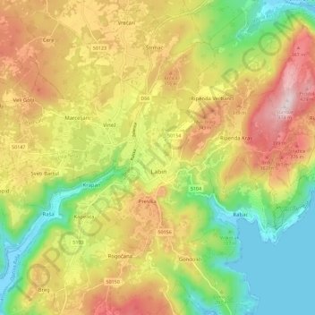
Name: Labin topographic map, elevation, terrain.
Location: Labin, Grad Labin, Gespanschaft Istrien, 52220, Kroatien (45.05485 14.08319 45.13485 14.16319)
Average elevation: 216 m
Minimum elevation: -6 m
Maximum elevation: 467 m