
Kangole topographic map
Interactive map
Click on the map to display elevation.
About this map
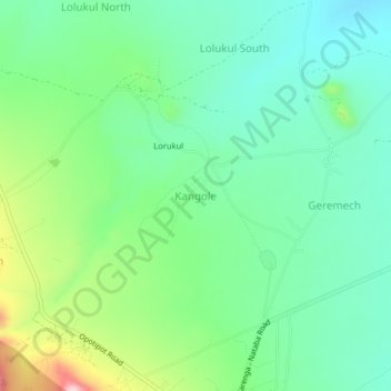
Name: Kangole topographic map, elevation, terrain.
Location: Kangole, Karenga, Northern Region, Uganda (3.58159 33.67400 3.62159 33.71400)
Average elevation: 1,386 m
Minimum elevation: 1,309 m
Maximum elevation: 1,574 m