
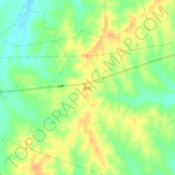
杨墩 topographic map
Interactive map
Click on the map to display elevation.
About this map
Name: 杨墩 topographic map, elevation, terrain.
Location: 杨墩, 弦山街道, 光山县, 信阳市, 河南省, 中国 (31.98593 114.78062 32.02593 114.82062)
Average elevation: 72 m
Minimum elevation: 53 m
Maximum elevation: 88 m