
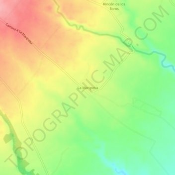
La Mariposa topographic map
Interactive map
Click on the map to display elevation.
About this map
Name: La Mariposa topographic map, elevation, terrain.
Location: La Mariposa, Paso del Macho, Veracruz, México (18.90611 -96.66278 18.94611 -96.62278)
Average elevation: 336 m
Minimum elevation: 282 m
Maximum elevation: 389 m