
Langensteinbach topographic map
Interactive map
Click on the map to display elevation.
About this map
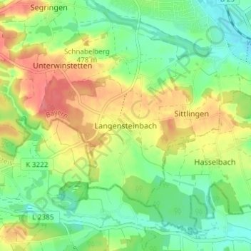
Name: Langensteinbach topographic map, elevation, terrain.
Average elevation: 463 m
Minimum elevation: 435 m
Maximum elevation: 500 m
Other topographic maps
Click on a map to view its topography, its elevation and its terrain.
Waldeck
Deutschland > Bayern > Landkreis Ansbach > Dinkelsbühl
Waldeck, Dinkelsbühl, Landkreis Ansbach, Bayern, Deutschland
Average elevation: 481 m