
Garba Tula topographic map
Interactive map
Click on the map to display elevation.
About this map
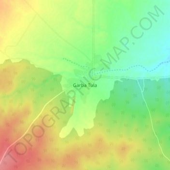
Name: Garba Tula topographic map, elevation, terrain.
Location: Garba Tula, Garbatulla, Isiolo, Eastern, Kenya (0.48671 38.47435 0.56671 38.55435)
Average elevation: 524 m
Minimum elevation: 489 m
Maximum elevation: 566 m