
Sallaghari topographic map
Interactive map
Click on the map to display elevation.
About this map
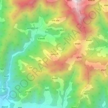
Name: Sallaghari topographic map, elevation, terrain.
Location: Sallaghari, Shantinagar, Dang, Lumbini Province, Nepal (28.19188 82.21476 28.23188 82.25476)
Average elevation: 1,246 m
Minimum elevation: 764 m
Maximum elevation: 1,875 m