
Ejstrup topographic map
Interactive map
Click on the map to display elevation.
About this map
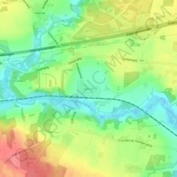
Name: Ejstrup topographic map, elevation, terrain.
Location: Ejstrup, Kolding, Kolding Kommune, Region Süddänemark, Dänemark (55.50212 9.37546 55.50502 9.38225)
Average elevation: 34 m
Minimum elevation: 1 m
Maximum elevation: 75 m