
Trois Roches topographic map
Interactive map
Click on the map to display elevation.
About this map
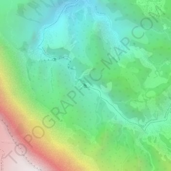
Name: Trois Roches topographic map, elevation, terrain.
Average elevation: 1,477 m
Minimum elevation: 913 m
Maximum elevation: 2,572 m
Other topographic maps
Click on a map to view its topography, its elevation and its terrain.
Aurère
Francia > La Reunión > La Possession
Aurère, La Possession, Saint-Paul, La Reunión, 97419, Francia
Average elevation: 863 m
Cayenne
Francia > La Reunión > La Possession
Cayenne, La Possession, Saint-Paul, La Reunión, 97419, Francia
Average elevation: 916 m