Geolocate

Suara topographic map

Click on the map to display elevation.

About this map

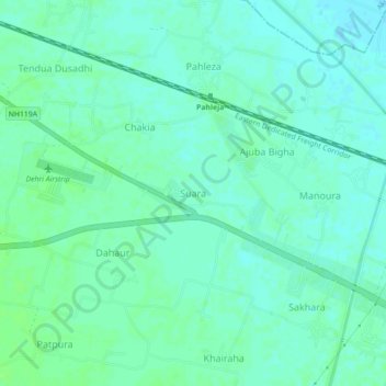
Name: Suara topographic map, elevation, terrain.

Location: Suara, Dehri, Rohtas District, Bihar, 821305, India (24.90318 84.12420 24.94318 84.16420)

Average elevation: 108 m

Minimum elevation: 104 m

Maximum elevation: 113 m

Other topographic maps

Click on a map to view its topography, its elevation and its terrain.

ديهري

India > Bihar > Dehri

Average elevation: 105 m

Gear up for your next adventure:

🚲Cycling GPS Computers - Track elevation and topographic routes on two wheels
🐕Hiking Dog Harnesses - Rugged harnesses for taking your companion on mountain trails
🧵Survival Paracord - Multi-purpose cordage for emergency repairs and shelters
📷Outdoor Action Cameras - Cameras designed for hiking and adventure
🗺️Topographic Maps - Detailed maps showing elevation and terrain features

As an Amazon Associate, this site earns from qualifying purchases at no extra cost to you.