
Docolay topographic map
Interactive map
Click on the map to display elevation.
About this map
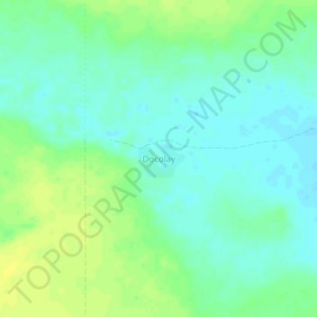
Name: Docolay topographic map, elevation, terrain.
Location: Docolay, Adado District, Galgaduud, Galmudug, Somalia (6.11196 46.94844 6.15196 46.98844)
Average elevation: 267 m
Minimum elevation: 259 m
Maximum elevation: 277 m