
Long Thành topographic map
Interactive map
Click on the map to display elevation.
About this map
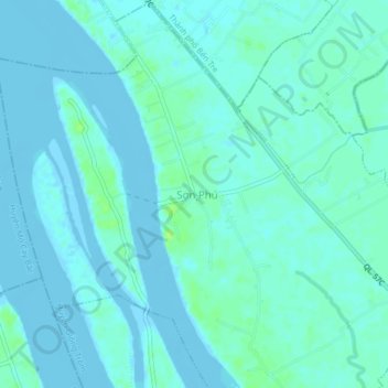
Name: Long Thành topographic map, elevation, terrain.
Location: Long Thành, Giồng Trôm District, Bến Tre Province, Vietnam (10.16489 106.35847 10.20489 106.39847)
Average elevation: 3 m
Minimum elevation: -5 m
Maximum elevation: 12 m