
Hồng Thắng topographic map
Interactive map
Click on the map to display elevation.
About this map
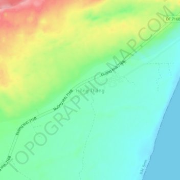
Name: Hồng Thắng topographic map, elevation, terrain.
Location: Hồng Thắng, Bắc Bình District, Binh Thuan province, Vietnam (11.07430 108.44802 11.11430 108.48802)
Average elevation: 42 m
Minimum elevation: -1 m
Maximum elevation: 126 m