Chalet-à-Gobet topographic map
Interactive map
Click on the map to display elevation.
About this map
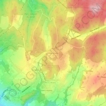
Name: Chalet-à-Gobet topographic map, elevation, terrain.
Average elevation: 847 m
Minimum elevation: 733 m
Maximum elevation: 941 m

Click on the map to display elevation.
Name: Chalet-à-Gobet topographic map, elevation, terrain.
Average elevation: 847 m
Minimum elevation: 733 m
Maximum elevation: 941 m