
Stueng Saen topographic map
Interactive map
Click on the map to display elevation.
About this map
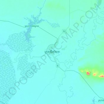
Name: Stueng Saen topographic map, elevation, terrain.
Location: Stueng Saen, Kampong Thom, Cambodia (12.55262 104.72911 12.87262 105.04911)
Average elevation: 14 m
Minimum elevation: 5 m
Maximum elevation: 194 m
Other topographic maps
Click on a map to view its topography, its elevation and its terrain.