
Palma Sola topographic map
Interactive map
Click on the map to display elevation.
About this map
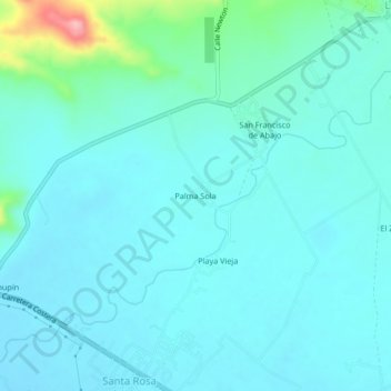
Name: Palma Sola topographic map, elevation, terrain.
Location: Palma Sola, Tututepec, Oaxaca, México (16.07074 -97.63629 16.11074 -97.59629)
Average elevation: 36 m
Minimum elevation: 15 m
Maximum elevation: 161 m
Other topographic maps
Click on a map to view its topography, its elevation and its terrain.
Cerro Hermoso
Cerro Hermoso, Tututepec, Oaxaca, México
Average elevation: 35 m