
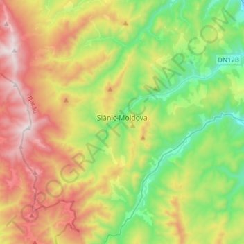
Slănic-Moldova topographic map
Interactive map
Click on the map to display elevation.
About this map
Name: Slănic-Moldova topographic map, elevation, terrain.
Location: Slănic-Moldova, Bacău, Romania (46.13695 26.33058 46.26992 26.58882)
Average elevation: 809 m
Minimum elevation: 274 m
Maximum elevation: 1,631 m
Other topographic maps
Click on a map to view its topography, its elevation and its terrain.
Pipas
Romania > Bacău > Slănic-Moldova
Pipas, Slănic-Moldova, Bacău, 605500, Romania
Average elevation: 570 m