
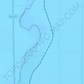
Brawley topographic map
Interactive map
Click on the map to display elevation.
About this map
Name: Brawley topographic map, elevation, terrain.
Location: Brawley, Imperial County, California, United States (33.01551 -115.51818 33.02155 -115.51331)
Average elevation: -44 m
Minimum elevation: -55 m
Maximum elevation: -38 m
Brawley is located in the Colorado Desert and Lower Colorado River Valley regions. The city's elevation, like other Imperial Valley towns, is below sea level.