
Seaforth topographic map
Interactive map
Click on the map to display elevation.
About this map
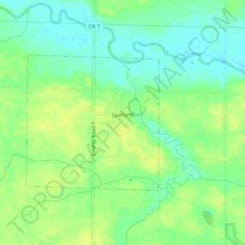
Name: Seaforth topographic map, elevation, terrain.
Location: Seaforth, Redwood County, Minnesota, 56287, United States (44.46884 -95.34131 44.48377 -95.32077)
Average elevation: 321 m
Minimum elevation: 311 m
Maximum elevation: 329 m