
Lake Tiriroto topographic map
Interactive map
Click on the map to display elevation.
About this map
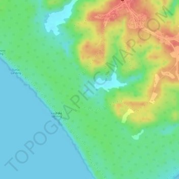
Name: Lake Tiriroto topographic map, elevation, terrain.
Location: Lake Tiriroto, Ngatiarua, Atiu, Cook Islands (-20.01051 -158.12488 -20.00867 -158.12276)
Average elevation: 29 m
Minimum elevation: 0 m
Maximum elevation: 78 m