
Batere topographic map
Interactive map
Click on the map to display elevation.
About this map
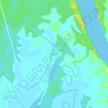
Name: Batere topographic map, elevation, terrain.
Location: Batere, Warri North, État du Delta, Nigéria (5.75761 5.11387 5.79761 5.15387)
Average elevation: 5 m
Minimum elevation: 0 m
Maximum elevation: 22 m