
Byers topographic map
Interactive map
Click on the map to display elevation.
About this map
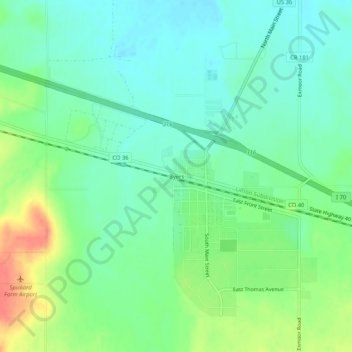
Name: Byers topographic map, elevation, terrain.
Location: Byers, Arapahoe County, Colorado, USA (39.69137 -104.24774 39.73137 -104.20774)
Average elevation: 1,590 m
Minimum elevation: 1,572 m
Maximum elevation: 1,625 m