
Mactan topographic map
Click on the map to display elevation.
About this map
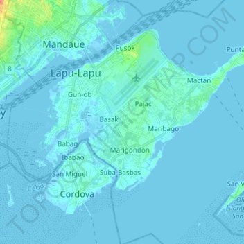
Name: Mactan topographic map, elevation, terrain.
Location: Mactan, Lapu-Lapu, Cebu, Central Visayas, Philippines (10.24226 123.92292 10.33429 124.04565)
Average elevation: 3 m
Minimum elevation: -3 m
Maximum elevation: 55 m